How does it work?
Mapdraft follows a simple working process of 4 steps (M-A-P-S) to make a map or a sequence of maps. The attention paid to each step, will only depend on your own particular needs.
1/4 Methodology: agreement on goals, budget, products and mode of collaboration.
2/4 Analysis: identification of core message and selection of data.
3/4 Processing: rendering selected data in a sequence of preliminary maps.
4/4 Storytelling: fine-tune the maps in order to effectively tell your story.
Mapdraft is a ‘drafting’ tool for spatial analysis and design, it doesn’t take maps as a finished product, but as a process one. Mapdraft provides you with strong images that you can present and share, but also allows you to use mapping as a research tool. You become part of the mapping process, you own the maps, and the privacy of your data is kept at all times.
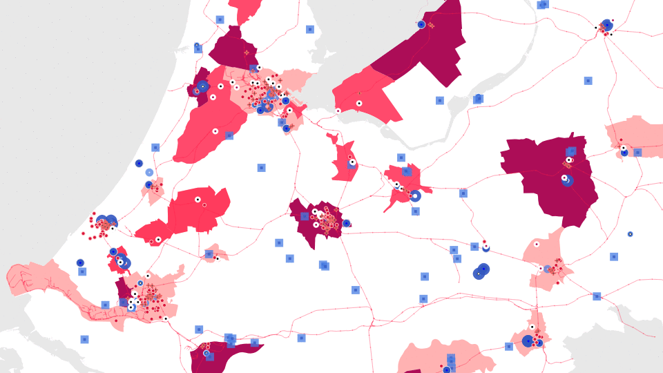
Maps are powerful
Strategic cartography is the use of data analysis and visual storytelling, as a communication tool for urban planning. It aims at locating in space, in expressive and relatable terms (map or atlas), a number of facts, qualities and challenges that a spatial practitioner wishes to stress out in order to convey a plan or concept to a broad public.
The spatial proximity of people, services, jobs, infrastructure or landscapes, offer opportunities for spatial development, that depend on the way we are willing to illustrate and interpret it. Strategic mapping, is at once a factual representation of data and a storytelling exercise.
Maps are powerful. They lay down coordinates that allow the public to find itself, physically, in the story told by those that make them. In the challenges ahead, of radical transformation of our economy and living environment, public engagement is key and mapping will inevitably play a great role in it.
Curious about the power of mapping? Get in touch.